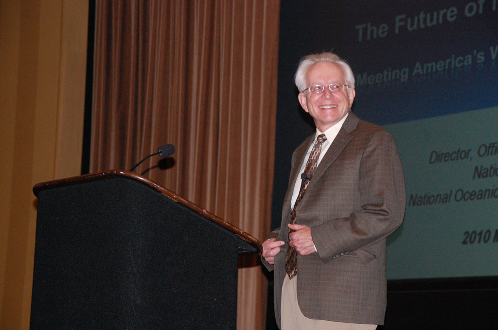
Gary Carter (credit: NOAA/NWS/OHD)
|
Gary Carter (credit: NOAA/NWS/OHD)
|
Gary Carter, Director of the NOAA/NWS Office of Hydrologic Development and member of the HMT Management Council, was interviewed for a Q & A section of the June 1st issue of the "NWS Focus on Hydrology." The full interview appears below.
I've been in the Weather Service now for about 40 years. I started working full-time in 1972 at Camp Springs, Maryland. I had just finished my Master's Degree at San Jose State University and joined the Techniques Development Lab to work on the statistical processing of meteorological forecasts. We developed thousands of equations to forecast temperature, precipitation, and clouds based on the Model Output Statistics technique. This was a pioneering effort throughout the 70s. I was also working with staff at NCEP, where they have the Central Computer Operations, putting those equations into operation and managing any problems with them.
So, I had a lot of interactions with the weather modeling community, which was dramatically expanding in the 70s and 80s. I became a Section Chief and Branch Chief. In the late 80s I transferred to the Eastern Region Headquarters and became Chief of the Scientific Services Division. During that time, we were modernizing the Weather Service, introducing Doppler radars, and changing the whole structure of our field operations. We selected science and operations officers and development and operations hydrologists in an effort to encourage the field offices to become more involved with collaborative research and interacting with the universities.
In early 2000, an opportunity came up to lead Hydrologic Research and Development, and I thought, with my background in science, publications, and computers, this would be a great match and a new challenge, and it's turned out to be more exciting than I ever dreamed.
The Weather Service does have the mission to forecast floods and protect life and property and issue flood forecasts and warnings. And that means you have to forecast the amount of water in the river.
The issue is not only the water and the river but how it gets in the river and it's not just rain falling from the sky. It's a complicated process of rain falling on the ground and some being absorbed and some transferring between the ground and the river. Then dams, reservoirs, and levees, and other complications make it very, very challenging to predict, how much water will be in the river, and when it's going to overtop the river bank, or when the levy is going to break, or other things that might cause flooding and endanger life and property.
CHPS is our Community Hydrologic Prediction System and it's really an environment for running hydrologic models and hydrologic forecasting tools. The Office of Hydrologic Development has a long history of developing hydrologic models for use of Weather Service River Forecast Centers and the Weather Forecast Offices. One of the things we realized in 2003 to 2005 was the explosion of the Internet and related advances like service-oriented architecture would promote integration across platforms and enhance the capability to share data, models, and tools. We decided we really needed this more open infrastructure to fully leverage investments in data and models made by NOAA, our Federal partners, and others.
We spent about a year looking at how we would do that. And then we were visited shortly after hurricane Katrina by a group of hydrologic experts from Holland who came down to look at that event and share some of their expertise. With the dikes and continual flooding over the years, they developed a high level of expertise in dealing with hydrologic modeling.
During the visit, they mentioned they had already advanced their modeling framework and evolved it into the service-oriented architecture. And we said, "Well, if you're already doing it, why should we reinvent the wheel? Let's work with you to do what we want to do to make our system be part of this more open and robust approach, and at the same time leverage your expertise."
So, we interacted with them and we worked out a relationship where they let us use their approach and insert the NWS River Forecast System in that environment but not give up our models and tools and techniques. We would then contribute to their hydrologic forecasting, and at the same time be able to maintain our own identity and implement their approach within the Weather Service. This also allows us to work with other federal agencies that have developed new hydrologic modeling and tools and techniques and make this part of what we're doing with the River Forecast Centers and eventually the Weather Forecast Offices.
So we will be able to leverage the science and models developed over the years by the Army Corps to do very precise things like deal with levy breaks or ice jams and adapt it very quickly (within six months or a year) to make it available at our River Forecast Centers to use in day-to-day operations to handle those types of very challenging events.
So, it's a win/win thing altogether and it's a great partnership.
The Weather Service has a long history in our River Forecast Centers of forecasting for major basins like the Ohio River, the Missouri River, or the Arkansas River, and we predict river stages for numerous locations on those rivers. But a lot of the time, because of science and data limitations, we will forecast only to a certain point like New Orleans, but we don't go any further down into the estuary and account for the full influence of tides and storm surge.
The same thing happens with the Potomac River here in the D.C. area. We forecast for Little Falls but we don't forecast for Alexandria. And yet the Potomac River flows into Chesapeake Bay and there is a whole modeling system developed by our friends next door in the National Ocean Service for the Chesapeake Bay. So their system makes forecasts that go up the Potomac to Alexandria. But our river forecast goes down to Little Falls and we don't exactly meet. This problem is exacerbated if we get a tropical storm and it pumps storm surge up the Potomac River, and floods Alexandria.
Neither system is working in concert, so we're starting a project now with the NOS Coastal Survey Development Lab to eventually develop a new Chesapeake Bay model that is integrated with the NWS river forecast system. We will do this in a way that allows the river and estuary models to overlap at the boundary conditions so we can produce coherent forecasts and exchange the data from both systems. We see great potential in the more integrated approach.
We are also working with the Earth System Research Lab in Boulder, Colorado. They have a tremendous science and engineering capability to observe and estimate water in the atmosphere and really get a good measure of how much moisture you have within a geographic region.
They also have developed vertically-pointing radars you can put out near the mountains so you can see where, during the wintertime because of elevation, there's a changeover from rain to snow with a big storm. That's a critical factor in predicting how much water you are going to have on the mountains as snow or how much precipitation is going to run off immediately into the river.
These are important parts of the NOAA Integrated Water Forecasting Program. We're also working with the National Severe Storms Lab on dual polarization radar techniques to obtain better estimates of precipitation. That's another area where working across NOAA has been beneficial to them and to us.
An untapped treasure of both the Weather Service and NOAA is that we have the ability to monitor and forecast water in the atmosphere, over the land, and in the rivers and streams. As we move into the future, we need to deal with extreme precipitation events and major flooding, as well as the impacts of protracted droughts in areas that don't have the systems to store and manage the water. A few years ago the Southeast United States had a major drought that lasted eighteen months and Georgia was fighting with Alabama and Tennessee over the water rights. And two years later they experienced record flooding in Atlanta and Nashville.
Our society, particularly in the major urban areas and vulnerable coastal areas, are exposed to these fluctuating patterns in the water-cycle. And with extreme events, there is going to be a growing demand on NOAA to provide better information on where the water is now, and how much will be available next week, next month, or next season. It's going to be a serious challenge and a growth area for the Weather Service and for NOAA.
It's my dream that some day in the future, when the Director of the Weather Service or the Administrator of NOAA interacts with the President, they will say, "Mr. President, I am the leader of the Nation's water forecasting service." Certainly NOAA is known for advances in oceanic and atmospheric science and everyone understands the Weather Service forecasts weather, but neither one is immediately recognized as being a water forecasting agency.
The demand for new and expanded water services is growing rapidly. Water is extremely valuable and there is keen interest in our being able to analyze and forecast it with additional precision and accuracy.