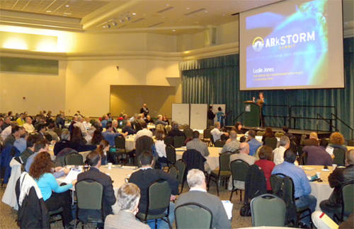
Summit attendees
|
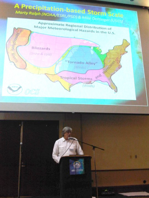
Dr. Michael Dettinger, of USGS and Scripps Institution of Oceanography, describes details of the meteorological foundations
of the ARkStorm at the Summit.
|
ARkStorm Summit Uses HMT Findings to Define A Major Emergency Preparedness Scenario
A significant outcome of the Summit was acknowledgment of the scientific realism and likelihood of the ARkStorm event. Definition of the event was led by Dr. Michael Dettinger of the USGS and Scripps Institution of Oceanography and Dr. Marty Ralph of NOAA's Earth System Research Laboratory. Provision of scenario details was based on simulations by modern weather forecasting and land-hydrologic models. The storm sequence at the core of the ARkStorm scenario is designed around a sustained sequence of landfalling atmospheric rivers (ARs), which are the primary historical cause of heavy precipitation along California's Pacific Coast. A similar sequence of storms may have been the cause of the rains and floods of 1862. A focused NOAA/ESRL/Physical Sciences Division research program during the past 10 years, including a major role in HMT, has led to better understanding of AR meteorology, frequency and strength. Continuing research is directed to developing better tools for forecasting ARs so that increased lead times and accuracies can be provided to facilitate emergency preparedness efforts. Implementation of permanent AR-focused 21st Century Observations and Modeling techniques is underway as part of the HMT-West Legacy project with California's Department of water Resources.
The products of the ARkStorm are intended for use by emergency planners, utility operators, policymakers, and others to inform preparedness plans and to enhance resiliency. A summary review of the ARkStorm Summit was carried by the New York Times, and a detailed overview of all facets of the study can be downloaded from a USGS web site.