HMT Develops Advanced Methods to Monitor Precipitation in the Russian River Basin
May 24, 2013
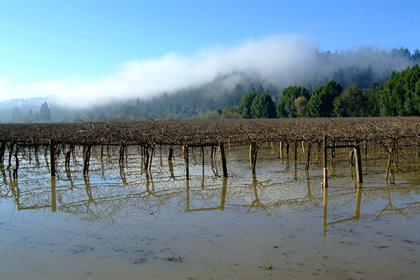
In the Russian River watershed, fresh water is managed for domestic water supplies, agriculture, and fisheries. Wintertime precipitation is vital for replenishing those fresh water supplies but it often comes too quickly and too fast, producing floods and negatively impacting water supplies, wineries, and fisheries habitat in the basin.
Forecasters, water managers, emergency managers, and planners need the best possible precipitation information to better inform the public of potential flooding and to manage the competing demands for water in the region. Research has shown that climate change will increase the occurrence of extreme precipitation events over time, further highlighting the need for reliable precipitation information.
HMT researchers at NOAA's Earth System Research Laboratory (ESRL) are engaged in a project to better map the variability of precipitation in time and space in the Russian, using a combination of radar and rain gauges. Radar has the advantage of mapping precipitation patterns over large regions relatively quickly; however, the accuracy of the precipitation estimates is not always accurate. Although rain gauges can measure precipitation very accurately, they measure the amount at a single point on the ground and cannot provide any advanced warning of approaching storms. Ideally, a combination of rain gauges and radar are used to provide precipitation information needed by forecasters and others. Like many areas in the western U.S., the Russian suffers from poor radar coverage from the National Weather Service (NWS) network due to the blockage of radar signals by mountains. Rain gauges are the only traditional source of precipitation information in the region.
Working with partners in the NWS, HMT researchers are determining the added value of using commercial radar data to produce better precipitation mapping in the region. The CBS affiliate KPIX operates a radar located on Mt. Vaca on the eastern end of Napa county that has relatively clear coverage over a portion of the Russian River watershed. ERSL is testing methods to combine the KPIX radar data with rain gauge information to provide better estimates of the precipitation amounts and patterns during storms.
Contact: Rob Cifelli