Study Identifies Characteristics of Extreme Precipitation Events in the Southeast U.S.
April 3, 2015
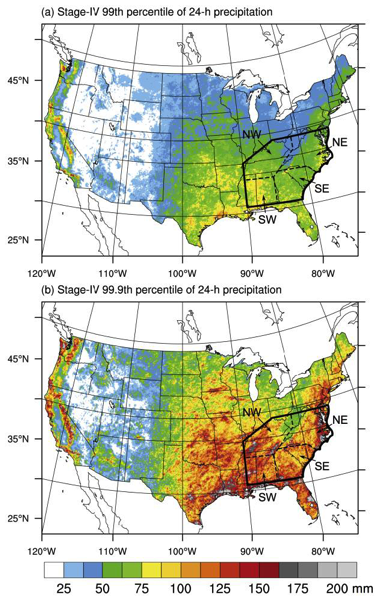
A new study by HMT researchers, led by Ben Moore (a former HMT team member now pursuing his doctorate in meteorology at SUNY Albany), documents the characteristics of extreme precipitation events (EPEs) in the southeast U.S. These events are a significant hazard, often causing extensive flooding and resulting loss of life and property. Moreover, EPEs present a significant challenge to weather forecasters. The southeast can experience EPEs in all seasons in conjunction with hurricanes, mid-latitude cyclones and large thunderstorm complexes known as mesoscale convective systems.
Moore and colleagues found that EPEs affected the Southeast in all months and occurred most frequently in the western portion of the Southeast during the cool season and in the eastern portion during the warm season. The EPEs associated with tropical cyclones, although less common, tended to be larger in size, more intense, and longer-lived than “non-tropical” EPEs.
The Moore study further showed that EPEs with strong integrated vapor transport (IVT), i.e., “strong-IVT” EPEs occur within high-amplitude flow patterns involving strong transport of moist, conditionally unstable air within the warm sector of a cyclone, whereas “weak-IVT” EPEs occur within low-amplitude flow patterns featuring weak transport but very moist and conditionally unstable conditions. Finally, the study showed that weak-IVT EPEs were associated with lower forecast skill than strong-IVT EPEs.
Contact: Rob Cifelli
Moore, B. J., K. M. Mahoney, E. M. Sukovich, R. Cifelli, and T. M. Hamill, 2015: Climatology and Environmental Characteristics of Extreme Precipitation Events in the Southeastern United States. Mon. Wea. Rev., 143, 718–741. doi: 10.1175/MWR-D-14-00065.1