2019
Improved Lake-Effect Snow Forecasts Through Experimental Coupling of Weather Prediction With Lake Hydrodynamics
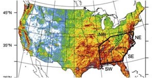
March 21, 2019 — Since mid-2017, a NOAA Oceanic and Atmospheric Research (OAR) / National Weather Service (NWS) cross-line office team has been working together to improve lake-effect snow, lake ice, and visibility forecasts. Read more
2018
NWS Forecasters Now Have Richer Data To Predict Fast-moving Floods
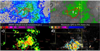
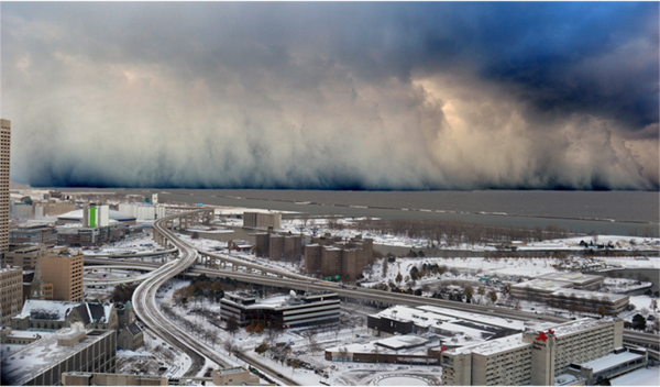
September 28, 2018 — Flash floods can become deadly in a matter of minutes.
A new forecasting tool is helping NOAA National Weather Service forecasters predict when and where these devastating events will occur.
Read more

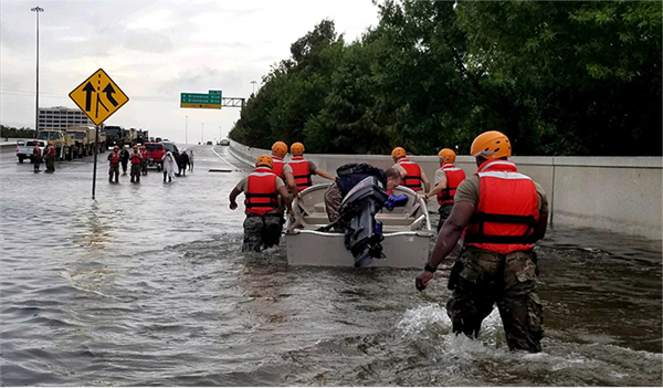
HMT-tested FLASH System Transitioned To The National Weather Service, Revolutionizes Tools Used For Flash Flood Forecasting
June 28, 2018 — During the week of July 2, FLASH products will be disseminated to all NWS offices in the lower 48 states via the Satellite Broadcast Network. This completes a major milestone! Read more
GSD demonstrates modeling systems in flash flood prediction experiment
June 18, 2018 — GSD is demonstrating modeling systems at the 2018 Flash Flood and Intense Rainfall Experiment (FFaIR) in College Park, MD from June 18 through July 20. Read more

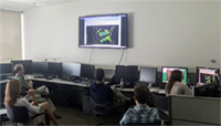
NOAA HWT Hosts Annual Spring Forecasting Experiment
May 9, 2018 — For for the next five weeks NOAA’s Hazardous Weather Testbed Experimental Forecast Program is focused on one topic — using cutting-edge computer models to improve predictions of hazardous weather. Read more